Identifier
Title
Description
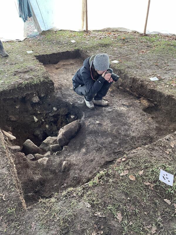
Initially, previously excavated material (mainly backfill from 2017) was removed to expose the latest phase of the investigation. Once reached, the layer was carefully cleaned and then documented with a digital camera.
The technique of using digital photography, combined with accurate digital positioning, is extremely important for research on the hill. This approach makes it possible to create 3D models of the contexts and features recovered during the survey, and provides a clearer description of the complex stratigraphic sequence encountered during the investigation.
Individual strata, burials and finds are described and given different digital identities so that they can be distinguished in databases and used to support archaeological interpretation.
The end result is a coherent digital information chain linked to databases and high-resolution images of trenches, strata and finds. The archaeological evidence is gone forever, but the computer can simulate the progress of the investigation through the various stages. With a consistent working method, it is then possible to piece together puzzles from different seasons of fieldwork, as information and 3D photogrammetry can be merged into a larger whole.

Set 3DHop scene
Record creator
Date Created
Rights Holder
Media (Images)
Linked resources
| Vångakullen and archaeology |


")
| Plane | Position | Flip |
| Show planes | Show edges |
0.0
[ 0 , 0 , 0 ]