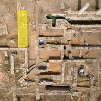
Identifier
en
TARP2024_SU_16001
Title
en
TARP2024 Stratigraphic Unit 16001
Context type
en
fill
Context subtype
en
Topsoil
Description
en
Topsoil
Excavation date
June 24, 2024
Record creator
Investigation area
Investigation site
Truncated
false
Date Created
June 28, 2024
Rights Holder
en
University of Cincinnati (US)
License
en
CC-BY 4.0
Other Media
Linked resources
| TARP2024 Trench 16000 |


| Plane | Position | Flip |
| Show planes | Show edges |
Measured length
0.0
0.0
Coordinates
[ 0 , 0 , 0 ]
[ 0 , 0 , 0 ]


