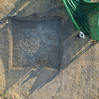
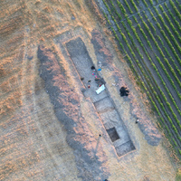
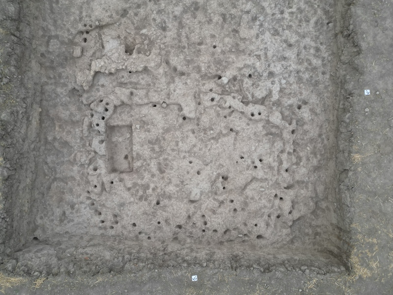
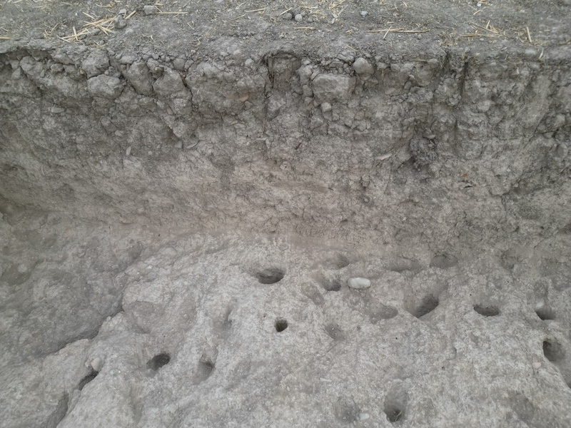
Identifier
TS2024_c940
Title
TS2024 context 940
Context type
en
cut
Context subtype
en
Posthole Cut
Description
cut of possible posthole (M)
Excavation date
July 18, 2024
Record creator
Investigation area
902, 941
Shape in plan
en
circular
Width
6
Width measure unit
en
centimeter
Filled by
941
Cut corners
en
rounded
Break of slope at the top
en
sharp
Break of slope at the base
en
sharp
Profile of slopes
en
concave
Shape of base
en
concave
Date Created
July 18, 2024
Rights Holder
en
University of York (UK)
License
en
CC-BY 4.0
Notes or comments
c916-c941 are the possible associated postholes and their fills
elevation: 70.60 (top), 70.50 (bottom) mA.S.L.
elevation: 70.60 (top), 70.50 (bottom) mA.S.L.
Other Media


| Plane | Position | Flip |
| Show planes | Show edges |
Measured length
0.0
0.0
Coordinates
[ 0 , 0 , 0 ]
[ 0 , 0 , 0 ]
Check All
