Identifier
en
TARP2023_SU_10018
Title
en
TARP2023 Stratigraphic Unit 10018
Phase type
en
layer
Description
en
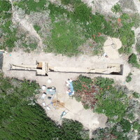
SU 10018 represents the layers of topsoil/sand covering Extension B. Though we separated these sandy layers in our original excavation (into SUs 10001, 10004, and 10006), we excavated them all as SU 10018 in the extension because of there similarity and sterility. SU 10018 possessed only a tiny amount of ceramics from ~350 buckets of soil, almost all of which came from the very lowest levels, at the point where we closed SU 10018 and opened SU 10020.
Record creator
Investigation site
Date Created
May 30, 2024
Rights Holder
en
University of Cincinnati (US)
License
en
CC-BY 4.0
has type
en
Topsoil
AP16i_was_attributed_by
en
R10.9
AP5_removed_part_or_all_of
Other Media
Linked resources
| TARP2023 Phase R10.9 |
| TARP2023 Trench 10000 |


| Plane | Position | Flip |
| Show planes | Show edges |
Measured length
0.0
0.0
Coordinates
[ 0 , 0 , 0 ]
[ 0 , 0 , 0 ]
Check All


