en
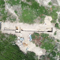
SU 10001 represents topsoil covering the entire length of the trench, approximately 20-50cm deep. SU 10001 ranges from purely loose sand (primarily in the east) to silt (in the west), but is dark and loamy throughout because of the extensive vegetation and roots. Although we did not sieve SU 10001, we noticed a preponderance of ceramic material, mostly larger chunks of tile and storage vessels, and a lesser presence of bone and other ecofacts. Through 10001 and the SUs below it (such as 10002, 10003, and 10004), we are noticing fewer of the objects common in the equivalent layers in trenches 7000 and 2000, such as bone hairpins and glass. In general, artifacts are more common in the western half of the trench, perhaps because the sand in the east holds material poorly. There are also instances of modern trash, though this is unsurprising for topsoil.


")