-
Identifier
SS2019_GIS_data
Type
en
lines
Title
SS2019 GIS data
Description
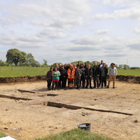
The GIS data relative to the 2019 excavation campaign at Södra Sallerup
Features represented
Investigation site
Record creator
GIS data format
en
Geojson
Dataset acquired by
Dataset location
en
Lund University (Sweden)
Spatial reference system (SRS)
en
EPSG:3006
Date Created
April 22, 2024
Rights Holder
en
Lund University (Sweden)
License
en
CC-BY 4.0
Linked resources
| Södra Sallerup 2019 |


