Navigation User Manual
About the project
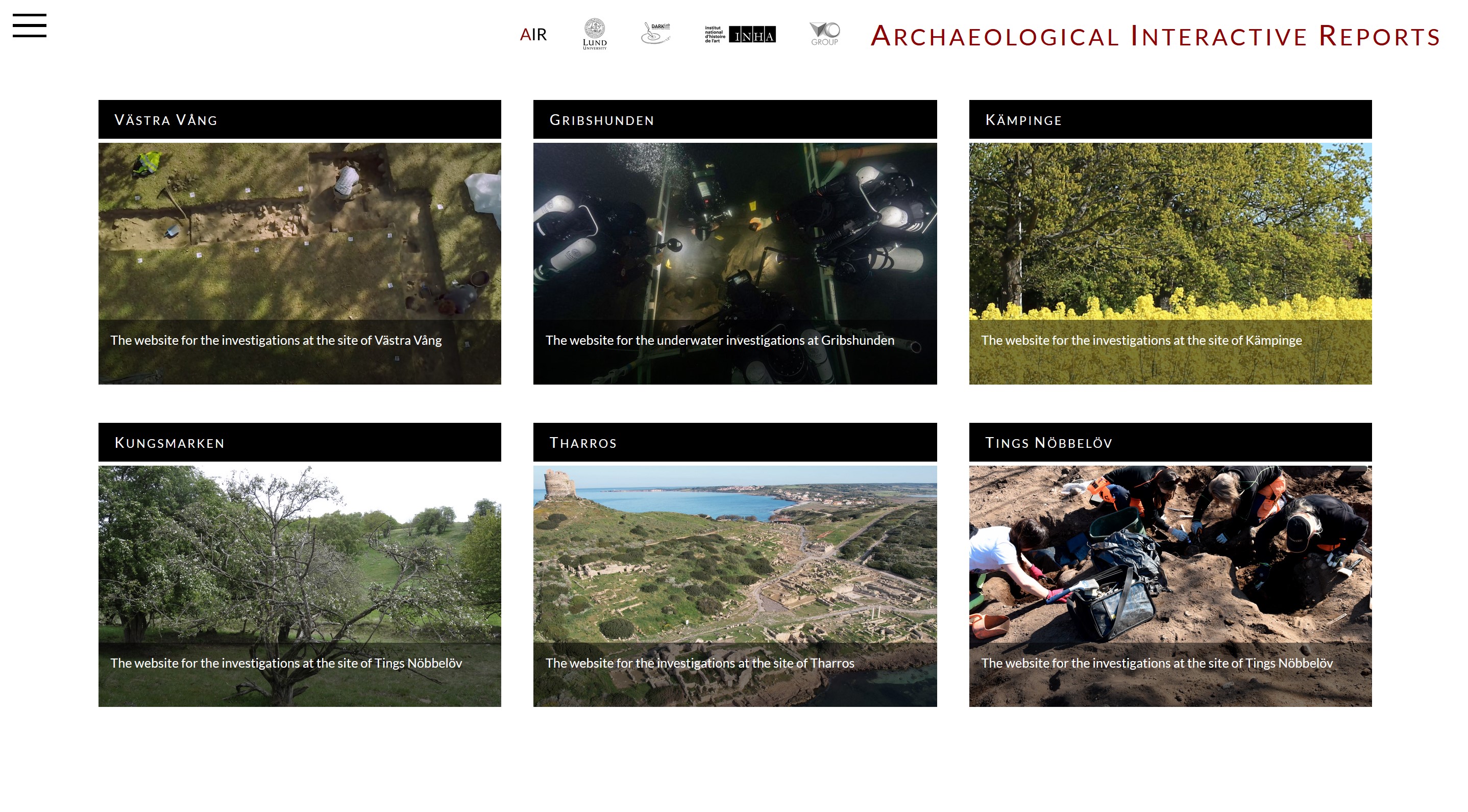
Choose the excavation site from the homepage by clicking on it.
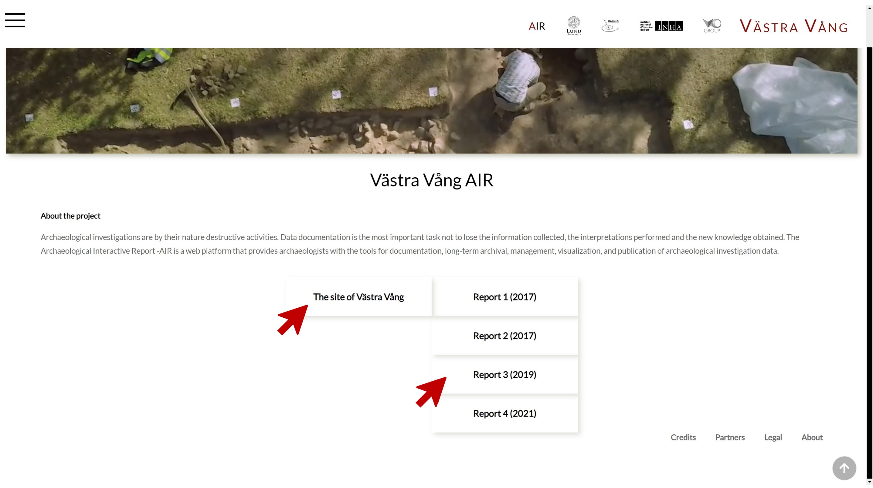
2. About the project
In this example, we will explore the data from the excavation of Västra Vång.
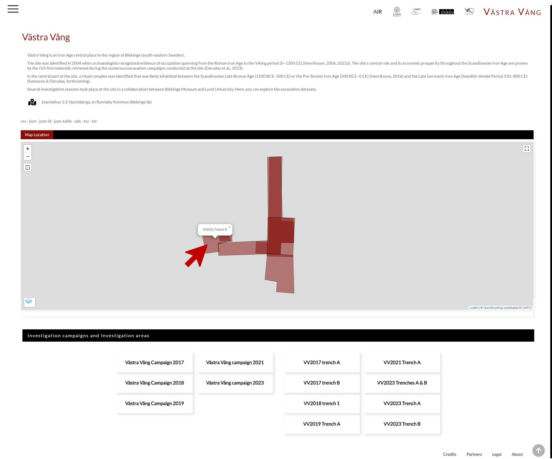
3. Where did excavations take place?
The Investigation Site page displays on a map the investigation areas where the excavation activities took place, providing a direct link to them
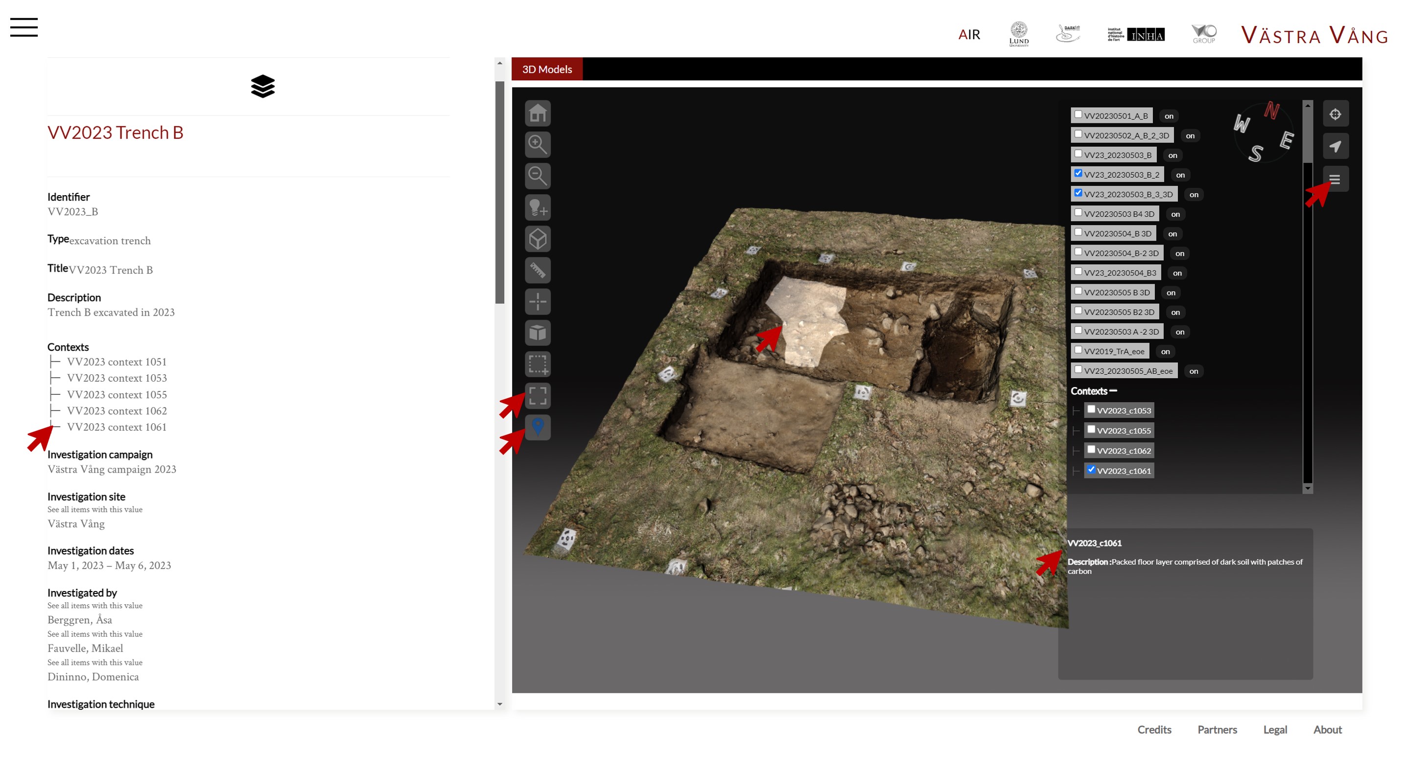
4. Exploring the dataset of Trench B
On the left side, you see the metadata, including archaeologists taking part in the excavation, contexts documented, 3D models produced, and resources linked.
On the right, you can explore the excavation progress in the 3D canvas. Through the menu on the right corner, you can make the 3D models and contexts visible and invisible; on the 3D models, you can remove the texture and make them transparent.
You can access the displayed components by clicking either from the metadata side or the 3D canvas.
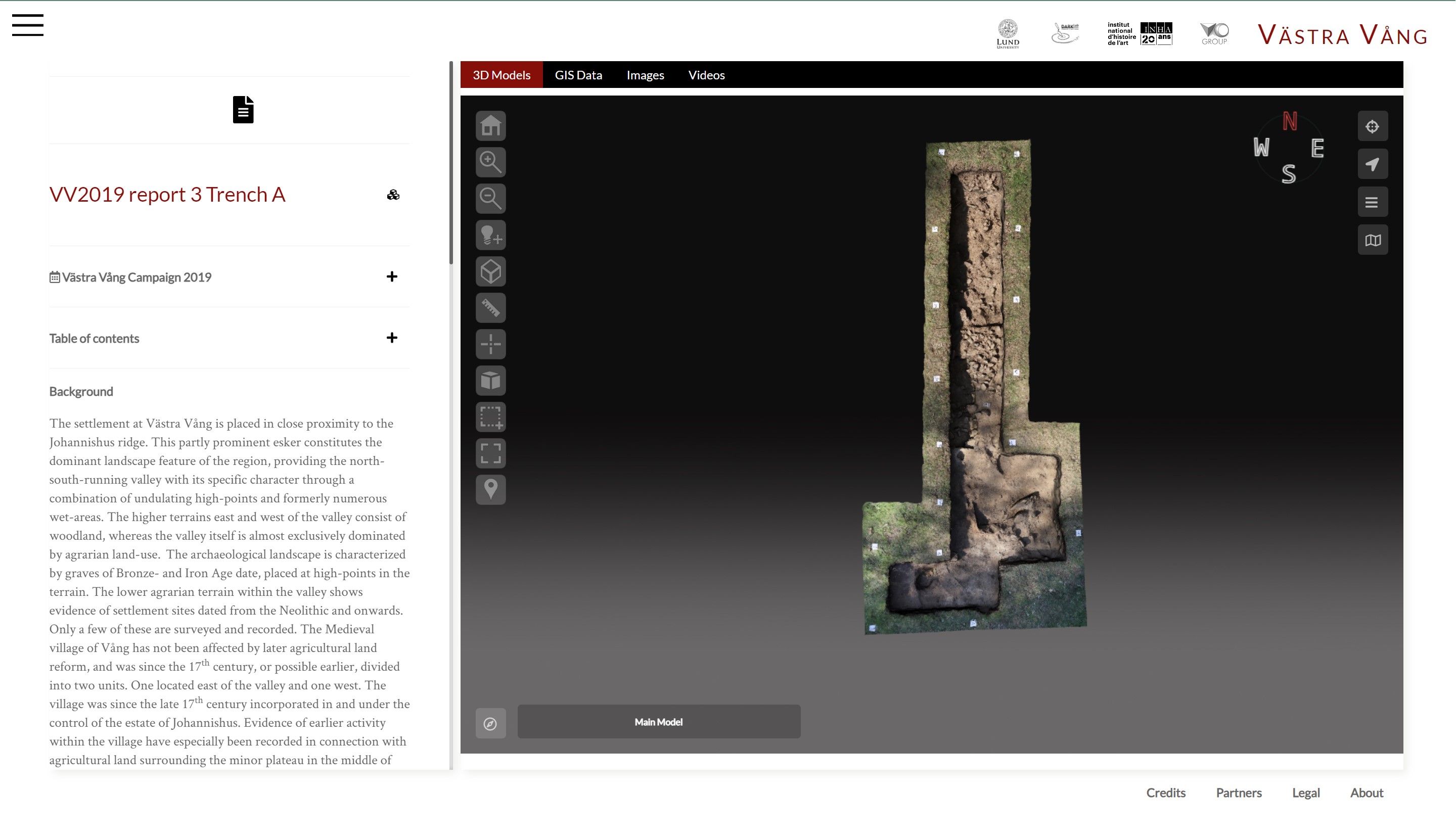
5. Exploring the archaeological report
You can explore the data in multiple ways: you can explore the online archive by clicking Browse on the top left menu, and perform advanced search to filter data, based on specific item typologies: contexts, finds, 3D models, and so on.
6. Exploring the data in multiple ways
You can explore the online archive by clicking Browse on the top left menu, and perform advanced search to filter data, based on specific item typologies: contexts, finds, 3D models, and so on.
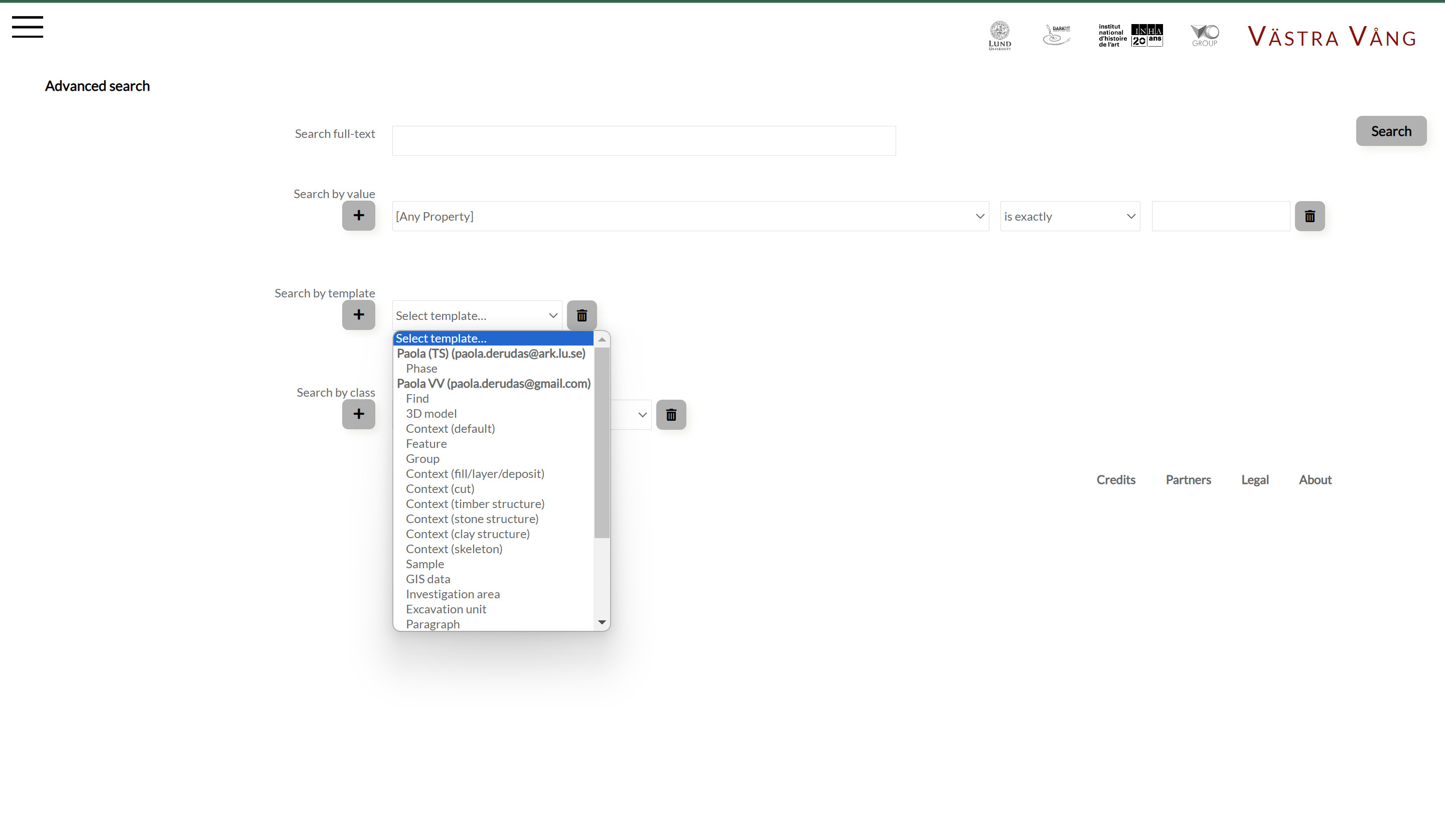
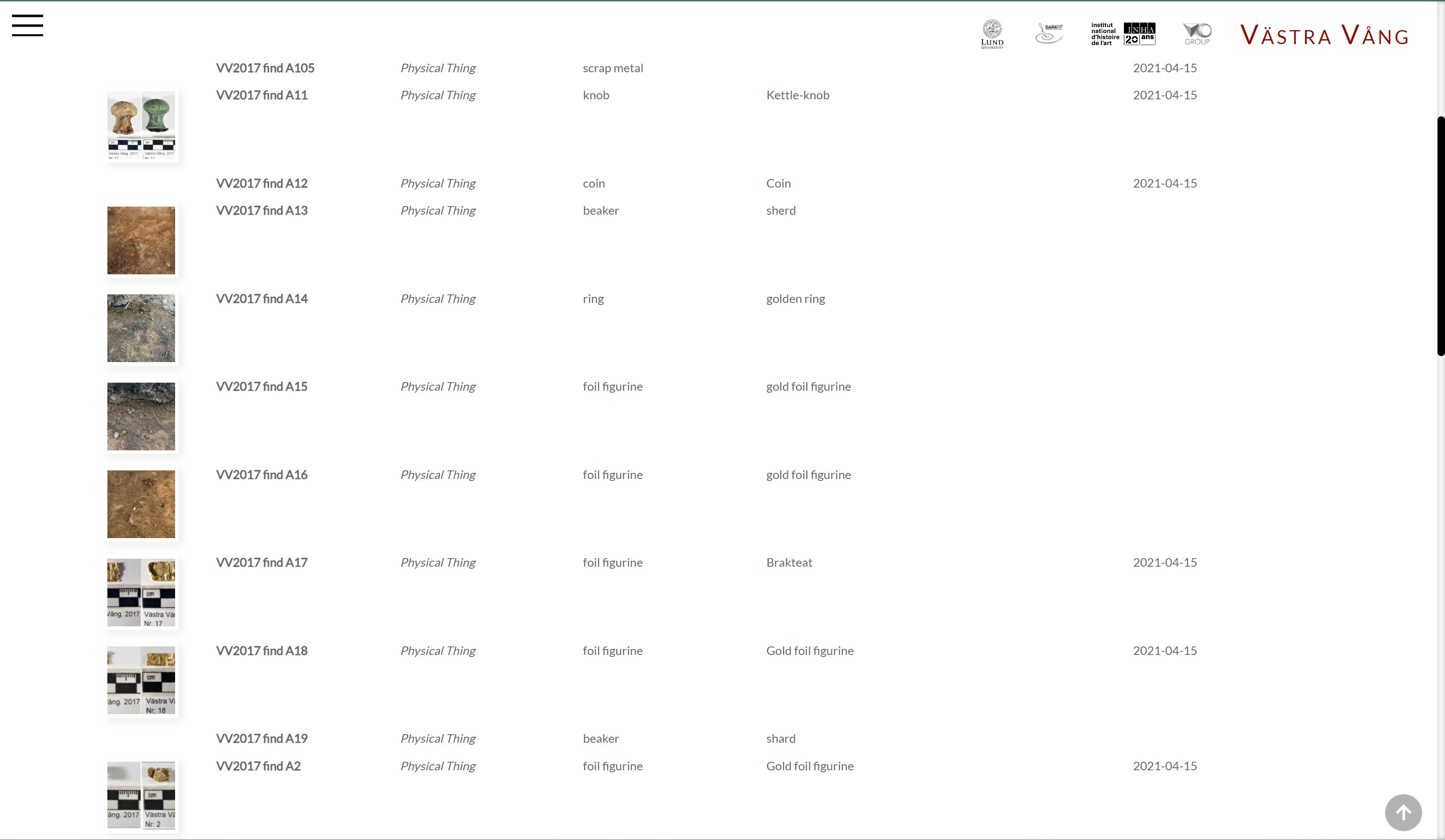
For example, you want to look at all the artifacts uncovered in the site, like in the picture below!